The Mammoth Area

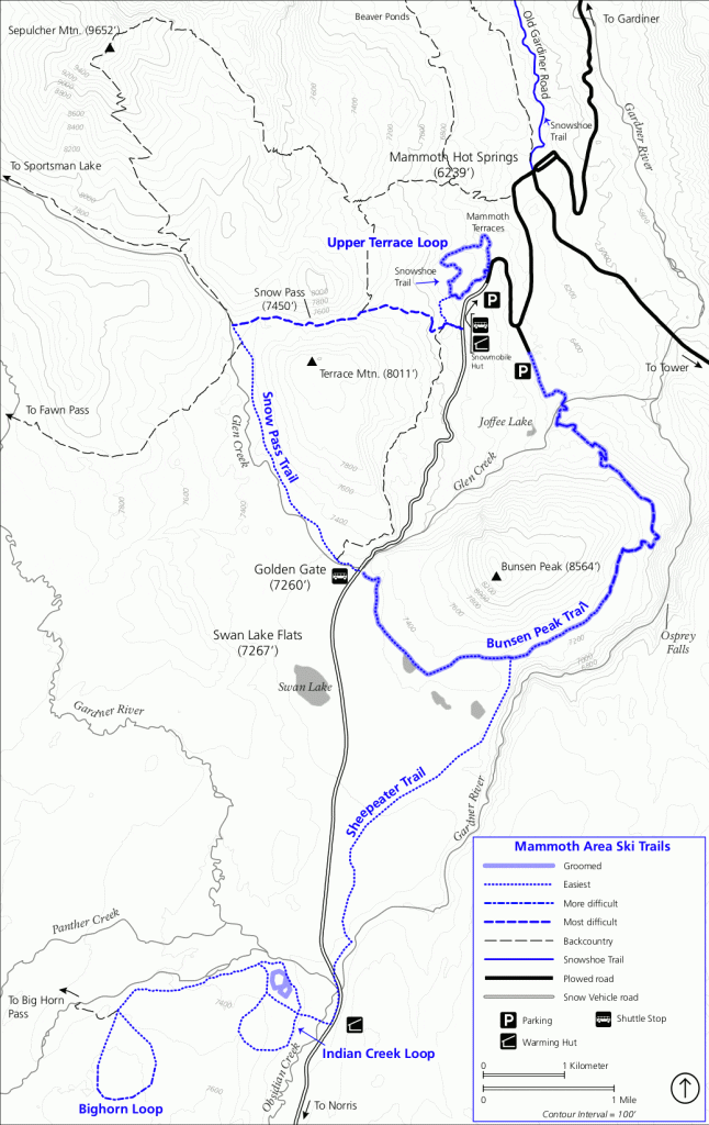
The Indian Creek Loop, south of Mammoth, is an easy two mile trail which traverses meadow and forest.
The Sheepeater Trail, an easy five mile trip, starts at the Indian Creek warming hut and travels north to the Bunsen peak trailhead, offering good views of pristine, snow-covered meadows.
The Bighorn Loop is a moderate five mile trail that starts at the Indian Creek trailhead and follows Indian Creek to the west, offering great views of the Gallatin mountains.
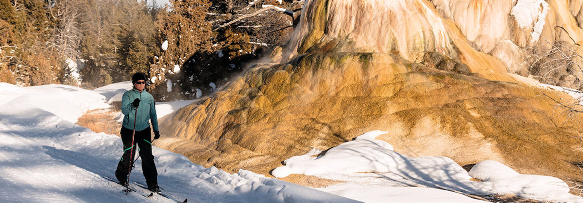
The one and a-half mile Upper Terrace Loop is accessible by automobile and follows the Upper Terrace Road, passing by numerous thermal features and offering a good view of Mammoth below.
The Bunsen Peak Trail is a difficult (there are some steep, curving downhill runs) six mile one-way trip which starts at the Bunsen Peak trailhead and circles west and north around Bunsen peak to a parking area just south of Mammoth. The trail offers great views of the Gallatin mountains and the Swan Lake flats.
