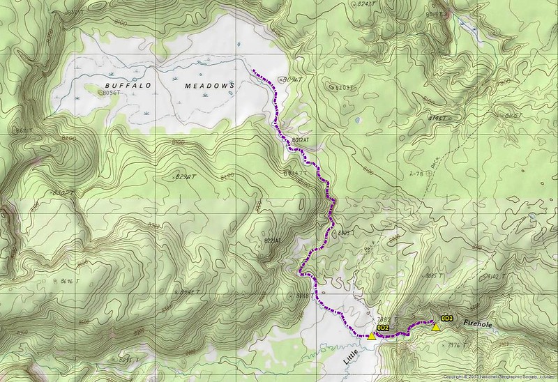
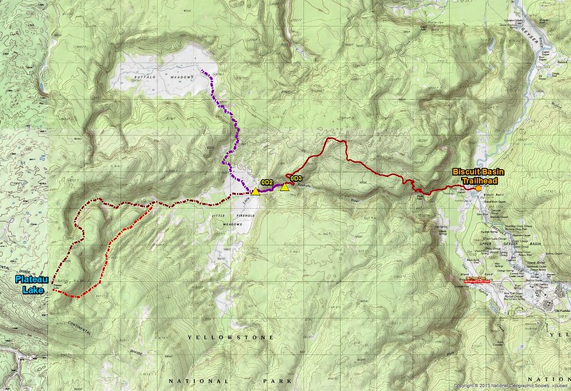
Day 3 - The hike to Buffalo Meadows was pretty straight forward. We'd move campsites, then backtrack back to the Little Firehole Meadows where we would pick up the creek in the northern quarter of the meadows, that flows south out of Buffalo Meadows, and just follow it north. From campsite 0D3, it was approximately 8 miles round trip. Now initially before I knew we had to move campsites, I had planned to hike to the west end of Buffalo Meadows and gain the high point along the ridge so that I could get a good shot looking back east of the entire meadows. Since we had to move campsites though, and with the marshy conditions of the meadows, this became unattainable from a time standpoint. So we ended up making it to the east end of the meadows where we stopped and enjoyed a late long lunch before returning to our camp.
I must say, the hike along the creek to Buffalo Meadows was wonderful. Hiking through tall grasses and listening to the stream flowing beside us was very peaceful and I thoroughly enjoyed it. I must admit though that for a stretch along the stream (maybe half a mile), the mosquitoes were the worst I have ever encountered in Yellowstone.
Map of our day hike to Buffalo Meadows on day 3
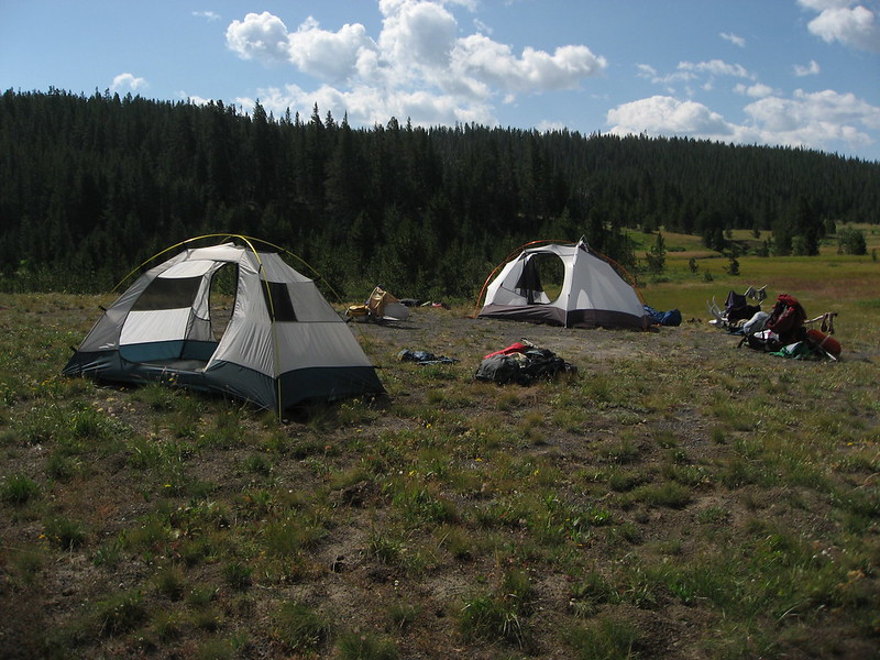
Breaking down camp at campsite 0D2
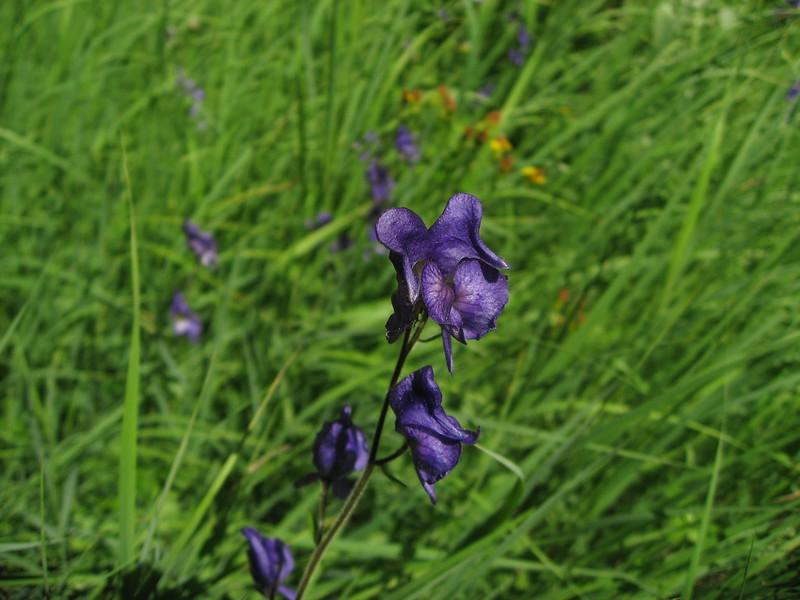
Monkshood along the trail on our way to campsite 0D3
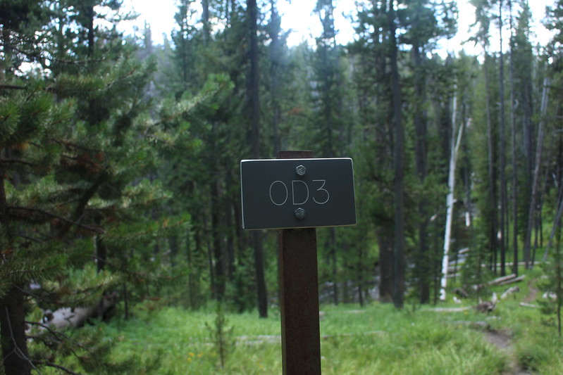
Signpost for campsite 0D3
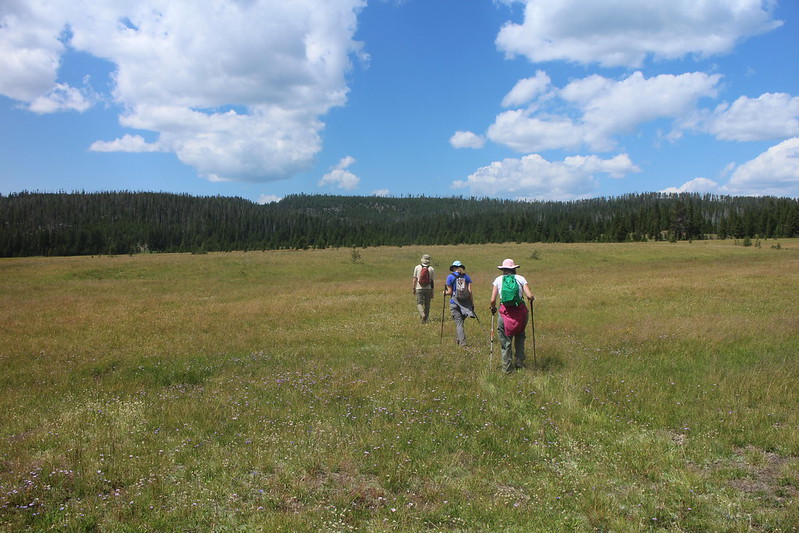
Heading back out through Little Firehole Meadows, this time heading north. The little depression in the ridge is where we are headed to. This is where the stream that originates in Buffalo Meadows flows through a small canyon.
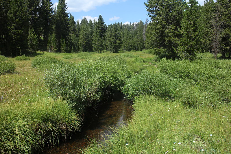
We found the stream. Yea!
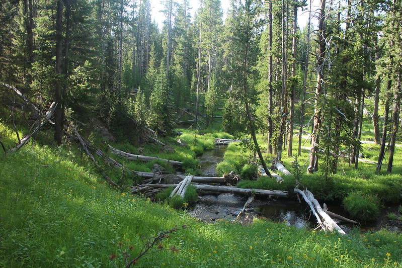
The stream between Buffalo Meadows and Little Firehole Meadows
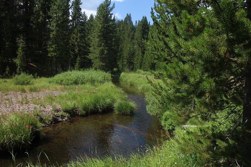
Another stream shot
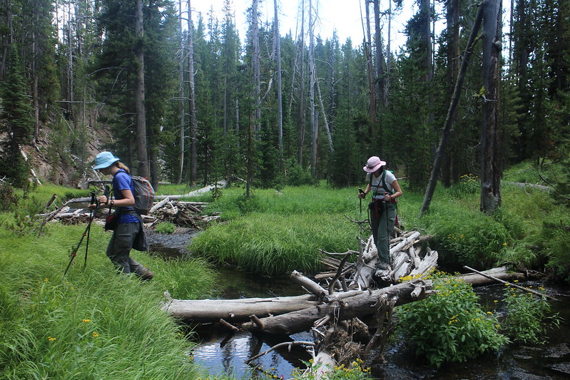
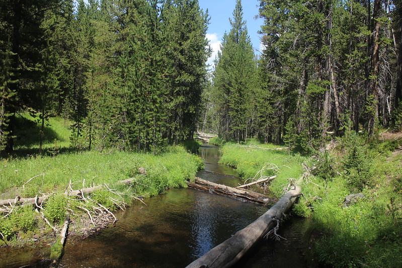
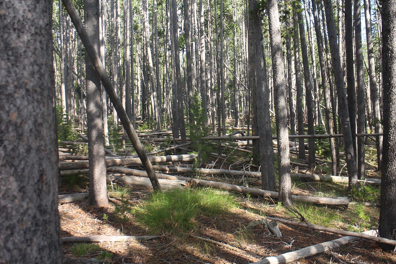
Of course, we had to cross the creek many times on our way due to difficult terrain
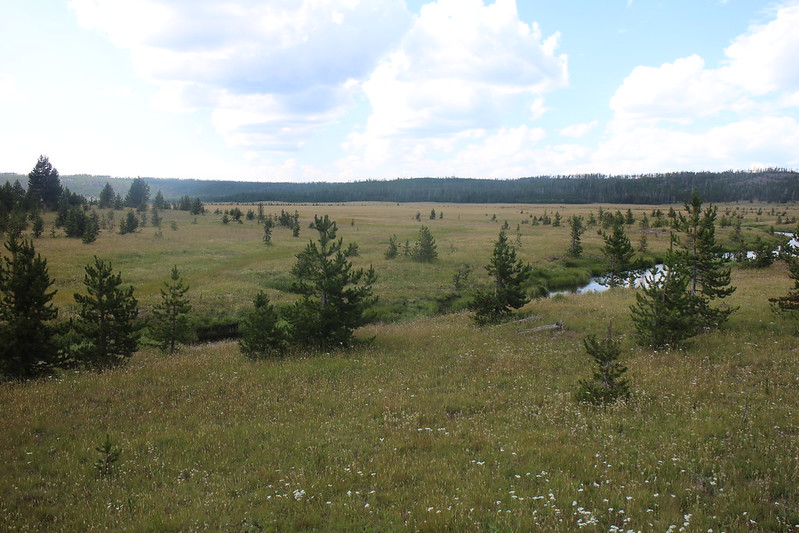
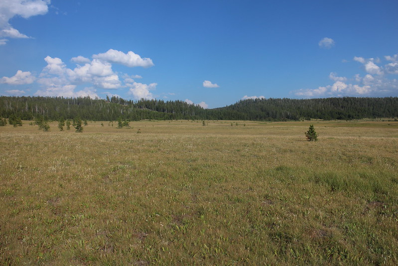
Our first glimpse of Buffalo Meadows
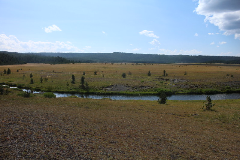
Buffalo Meadows - looking west. Lighting conditions weren't the best once we reached the meadows, but you can make out the high point along the western ridge that I had originally planned to get to.
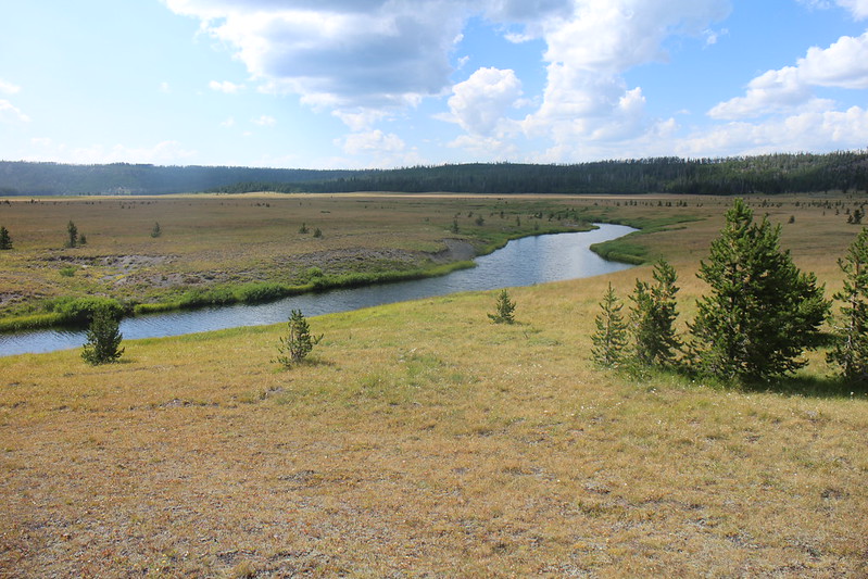
Buffalo Meadows - looking slightly northwest from where we ate our lunches
On our way to and from Buffalo Meadows, the canyon wall narrowed to where we had to hike up above on the ridge before dropping back down to the stream. This is what it looked like on the ridge.
Back at the stream, after hiking back down the ridge, on our way back to camp
Back at Little Firehole Meadows
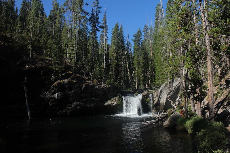
Little Firehole River Falls at campsite 0D3
Day 4 - We packed up and headed back to the Biscuit Basin Trailhead
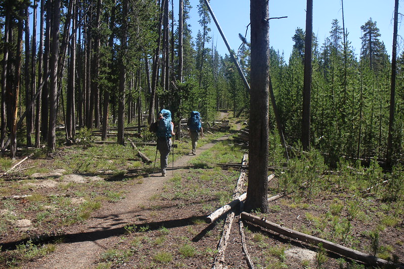
Heading back to the trailhead
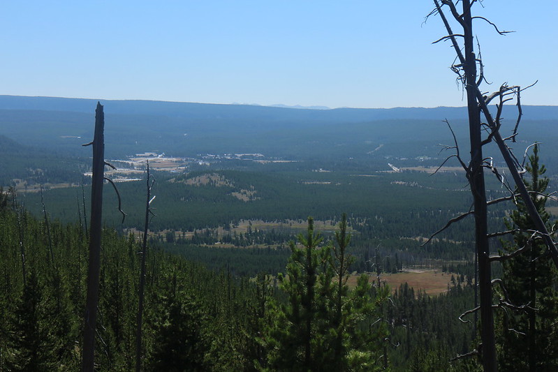
Looking out towards Old Faithful, just before descending to Mystic Falls
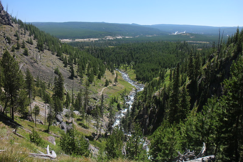
Looking down the Little Firehole River and out into Upper Geyser Basin
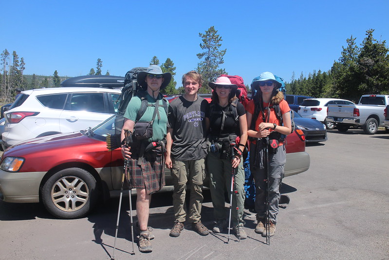
We made it! Back at the Biscuit Basin parking lot
Trip overview map - Four days and a touch over 30 miles hiked and backpacked.
A great trip! The weather cooperated for the most part, just the thunderstorm coming back from Plateau Lake. We did get some frost on our tent flies the second night. Wildlife include the Pine Marten, a Golden Eagle, numerous hawks and of course squirrels, chipmunks and various birds. There were signs of elk and deer up on the Madison Plateau but we never saw any.
The end.