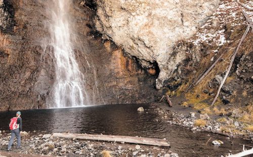
Trailhead #1: Steel Bridge parking area 1 mile south of the Midway Geyser BasinTrailhead #2: Fountain Flats parking areaDistance: 5 miles (8 km) from trailhead #1; 7 miles (5.5 km)…
Category: Day Hikes
ELEPHANT BACK MOUNTAIN TRAIL
Trailhead: Pullout 1 mile (1.5 km) south of Fishing Bridge JunctionDistance: 3 mile (5 km) loopLevel of Difficulty: Moderately strenuous This trail climbs 800 feet in 1-1/2 miles (2.4 km)…
CYGNET LAKES TRAIL
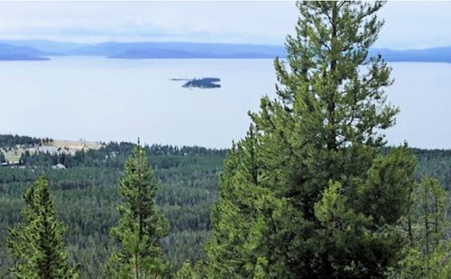
Trailhead: Pullout about 5.5 miles west of Canyon JunctionDistance: 8 miles (14.4 km) roundtripLevel of Difficulty: Easy This trail travels through intermittently burned lodgepole pine forest and past small marshy…
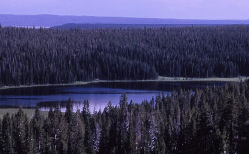
CASCADE LAKE TRAIL
Trailhead: Cascade Lake Picnic Area, 1.5 miles north of Canyon JunctionDistance: 4.5 miles (7.2 km) roundtripLevel of Difficulty: EasyThis easy hike is an enjoyable stroll through forested areas, open meadows…
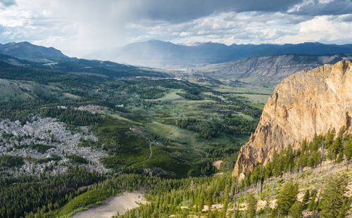
BUNSEN PEAK TRAIL
Trailhead: Entrance of Old Bunsen Peak Road, 5 miles south of MammothDistance: 2 miles to the summit (up to 10 miles roundtrip, depending on route)Level of Difficulty: Moderate As far…

BEAVER PONDS LOOP TRAIL
Trailhead: Clematis Gulch between Liberty Cap and the stone houseDistance: 5 mile (8 km) loopLevel of Difficulty: Moderate One of Yellowstone’s shorter loop trails, this is a scenic hike with…
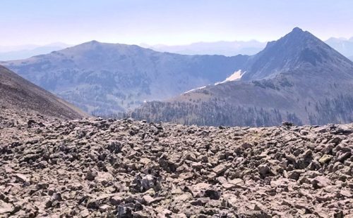
AVALANCHE PEAK TRAIL
Trailhead: West end of Eleanor Lake across the road to the east of the small creekDistance: 5 miles (8 km) roundtripLevel of Difficulty: Strenuous This steep trail climbs 1,800 ft…
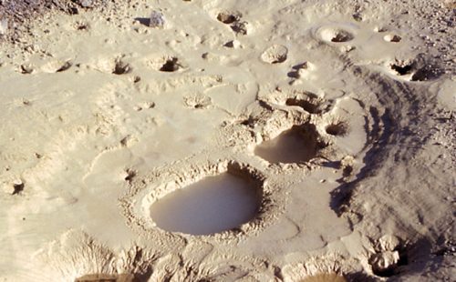
ARTIST PAINT POTS TRAIL
Trailhead: 4.4 miles south of Norris on the Norris-Madison roadDistance: about 1 mile roundtripLevel of Difficulty: EasyNote: a new trail was cut in 2004, making this trail an even easier…