
Trailhead: North of Alum Creek pullout, 4 miles south of Canyon JunctionDistance: 21 miles one wayLevel of Difficulty: Moderately strenuous if you do the entire hike in one day Mary…
Category: Canyon Area
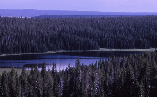
ICE LAKE TRAIL
Trailhead: 3.5 miles east of Norris on the Norris-Canyon roadDistance: 0.3 miles (0.5 km)Level of Difficulty: Easy; handicapped accessible backcountry site on lake Ice Lake is a beautiful, small lake…
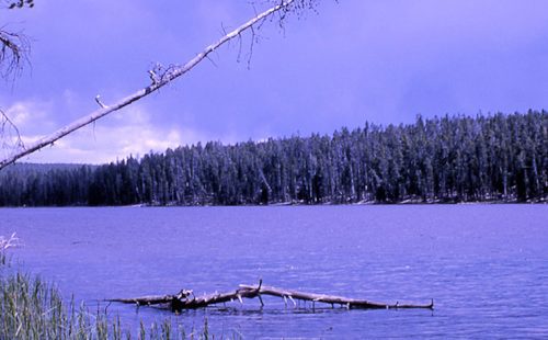
GREBE LAKE TRAIL
Trailhead: 3.5 miles (5.6 km) west of Canyon Junction on the Norris-Canyon RoadDistance: 6 miles (9.7 km) roundtripLevel of Difficulty: Moderately easyMainly used by fishermen and backpackers, this trail goes…
CYGNET LAKES TRAIL
Trailhead: Pullout about 5.5 miles west of Canyon JunctionDistance: 8 miles (14.4 km) roundtripLevel of Difficulty: Easy This trail travels through intermittently burned lodgepole pine forest and past small marshy…
CASCADE LAKE TRAIL
Trailhead: Cascade Lake Picnic Area, 1.5 miles north of Canyon JunctionDistance: 4.5 miles (7.2 km) roundtripLevel of Difficulty: EasyThis easy hike is an enjoyable stroll through forested areas, open meadows…