Trailhead #1: Steel Bridge parking area 1 mile south of the Midway Geyser Basin
Trailhead #2: Fountain Flats parking area
Distance: 5 miles (8 km) from trailhead #1; 7 miles (5.5 km) from trailhead #2
Level of Difficulty: Easy
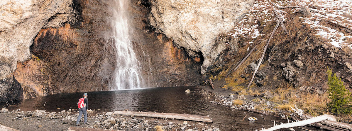
197-foot Fairy Falls is one of the tallest waterfalls in Yellowstone, dropping into a shallow pool of very cold, clear water, in a beautiful forested setting. There are actually several ways to get to Fairy Falls. The longest and most scenic route starts at the Fountain Flat Drive parking area (Trailhead #1 above). Follow the old road bed south over Firehole River Bridge. One mile past the bridge, the trail turns west and follows Fairy Creek through wet meadows and forest, reaching Fairy Falls at about the four mile point. After visiting the falls, the trail heads east, meeting an abandoned road about 1.5 miles from the falls. Traveling north on the old old roadbed will take you back to the Fountain Flat Drive, about 4.5 miles from the falls. Elk can be found in the meadows throughout the summer, as can buffalo, coyotes and the occasional bald eagle. There are also a variety of backcountry thermal features in the vicinity of Fairy Falls, should you wish to further explore the area.
Take a virtual trip to Fairy Falls
360 degree view of Fairy Falls