How to Get There The falls are located behind Biscuit Basin, near the Old Faithful Area. After about .5 miles,…
Author: siteadmin
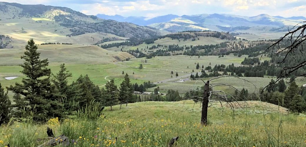
MOUNT WASHBURN TRAIL
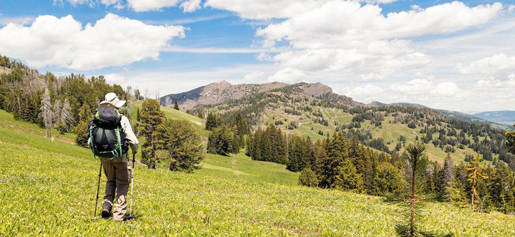
Trailhead #1: Chittenden Road Parking Area, 8.7 miles (13.9 km)Trailhead #2: Dunraven Pass Parking Area, 13.6 miles south of Tower…
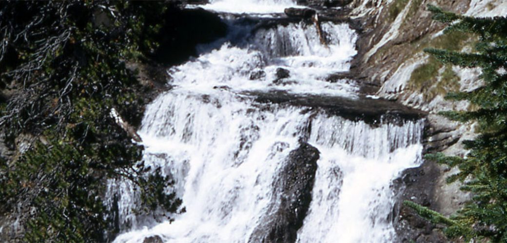
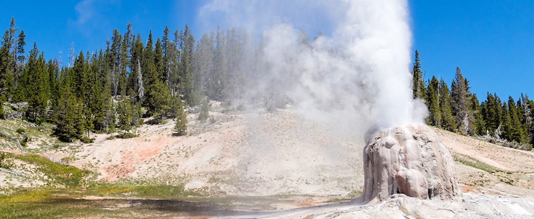
MONUMENT GEYSER BASIN TRAIL
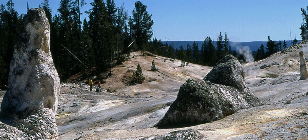
Trailhead: 5 miles south of Norris Junction on the Norris-Madison road, just after Gibbon River BridgeDistance: 2 miles (3 km)Level…
MARY MOUNTAIN TRAIL
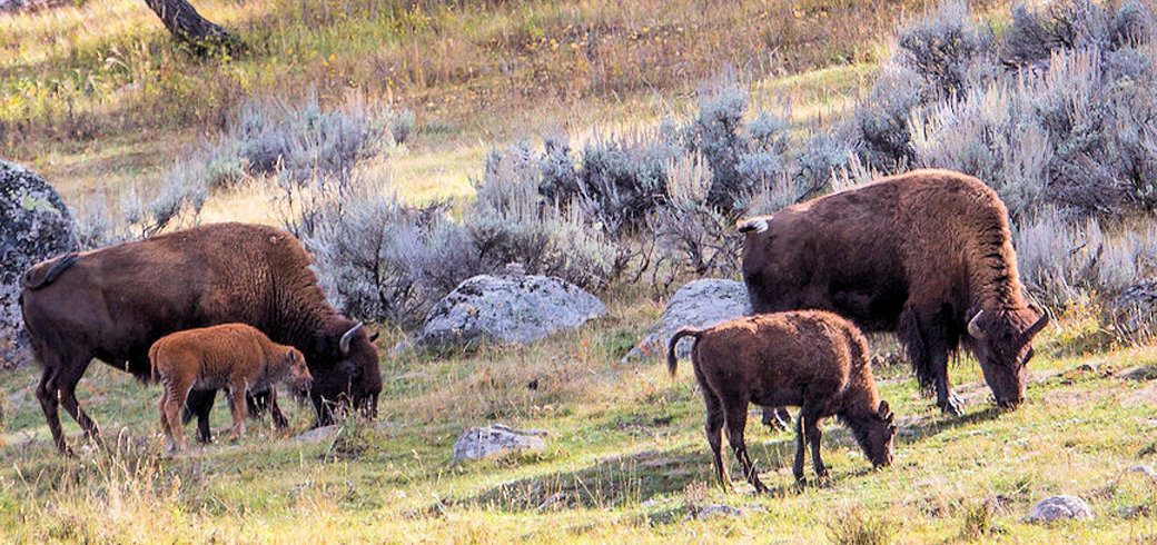
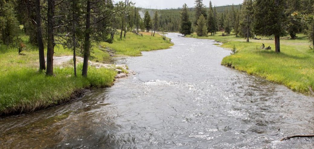
Trailhead: North of Alum Creek pullout, 4 miles south of Canyon JunctionDistance: 21 miles one wayLevel of Difficulty: Moderately strenuous…
MALLARD LAKE TRAIL
Trailhead: Old Faithful Lodge cabin areaDistance: 6.8 miles (5.3 km) roundtripLevel of Difficulty: Moderate This trail climbs through lodgepole pine…
LOST LAKE TRAIL
Trailhead: Behind Roosevelt LodgeDistance: 4 miles (6.4 km) roundtripLevel of difficulty: Moderately strenuousThis moderately strenuous trail starts behind Roosevelt Lodge…
LONE STAR GEYSER TRAIL
Trailhead: 3.5 miles SE of the Old Faithful area, at Kepler Cascades parking areaDistance: 5 miles (8 km) roundtripLevel of…
ICE LAKE TRAIL
Trailhead: 3.5 miles east of Norris on the Norris-Canyon roadDistance: 0.3 miles (0.5 km)Level of Difficulty: Easy; handicapped accessible backcountry…
GRIZZLY LAKE TRAIL
Trailhead: 1 mile (1 km) south of Beaver Lake on the Mammoth-Norris roadDistance: 4 miles (6 km) roundtripLevel of difficulty:…
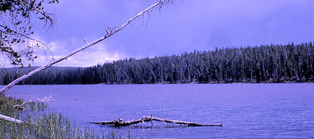
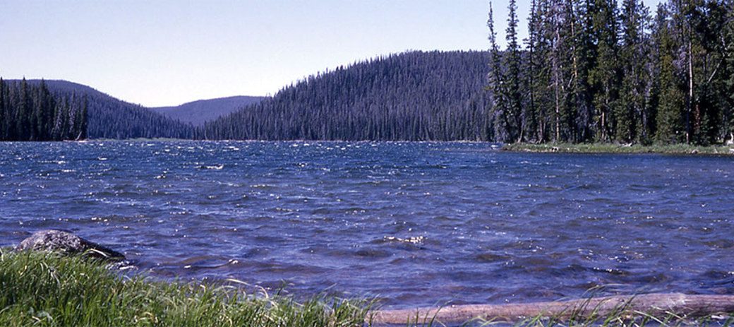
GREBE LAKE TRAIL
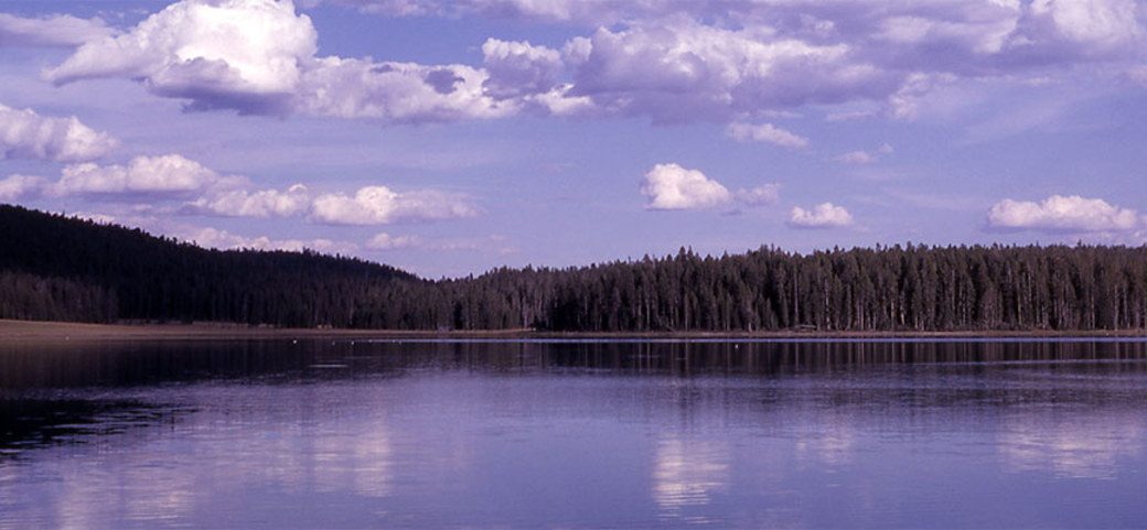
Trailhead: 3.5 miles (5.6 km) west of Canyon Junction on the Norris-Canyon RoadDistance: 6 miles (9.7 km) roundtripLevel of Difficulty:…