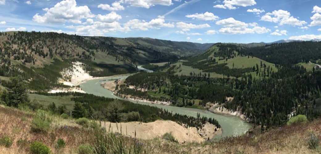
Trailhead: 1.25 miles NE of Tower Junction on the road to the NE Entrance Distance: 3.7 miles (5.9 km) roundtrip…
Author: siteadmin
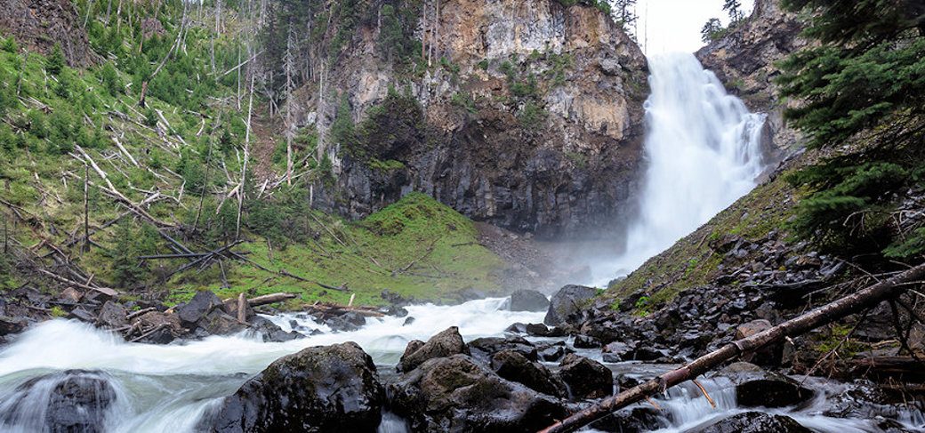
WRAITH FALLS TRAIL
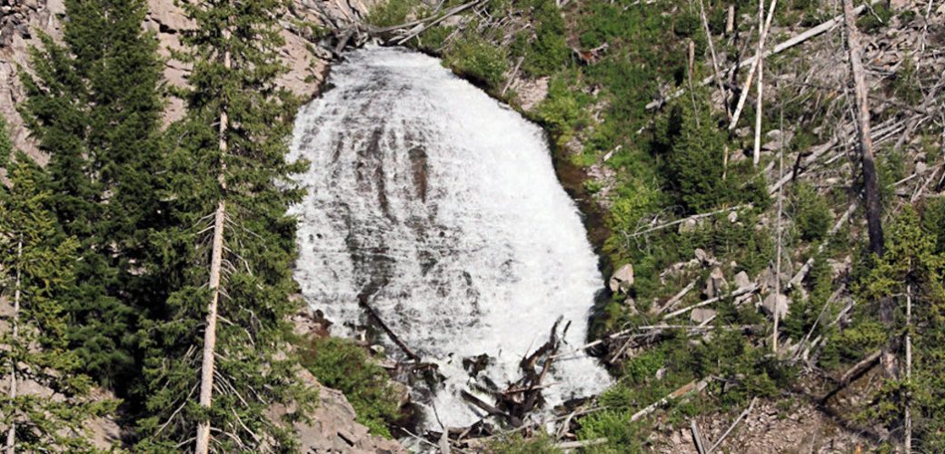
Trailhead: Pullout ¼ mile east of Lava Creek Picnic area, Mammoth-Tower RoadDistance: 1 mile (1 km) round tripLevel of Difficulty:…
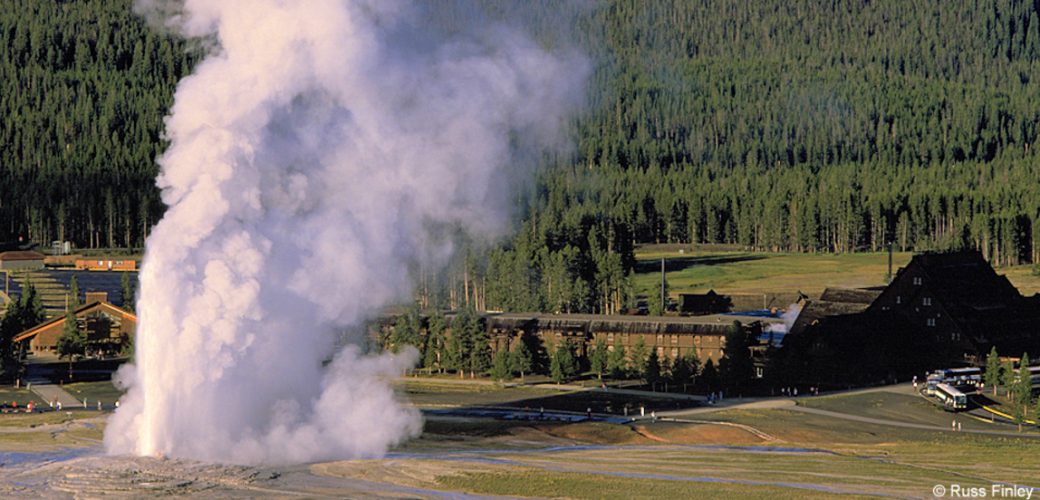
UPPER GEYSER BASIN TRAILS
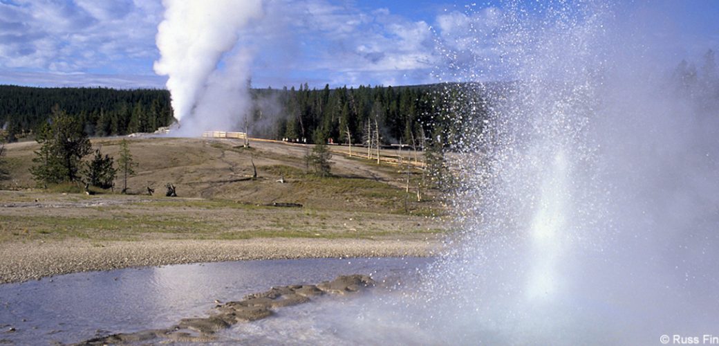
Trailhead: Boardwalk in front of Old Faithful Visitor CenterDistances: Several miles of trails, including a loop to the east and…
STORM POINT TRAIL
Trailhead: Pullout at Indian Pond, 3 miles east of Fishing Bridge Visitor CenterDistance: 2 mile (3 km) loopLevel of Difficulty:…
SPECIMEN RIDGE TRAIL
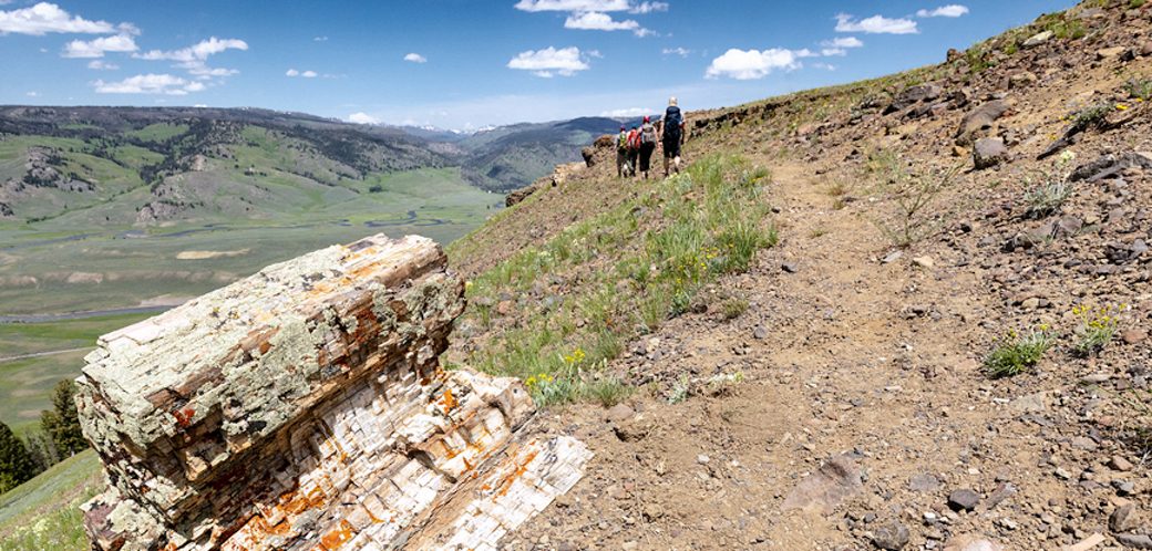
Trailhead: 2.5 miles east of Tower JunctionDistance: 1 to 11 miles one wayLevel of Difficulty: Moderate to DifficultThis is a…
SOLFATARA CREEK TRAIL
Trailhead #1: Loop C in Norris Campground Trailhead #2: approx. 3/4 mile south of Beaver Lake Picnic Area Distance: About…
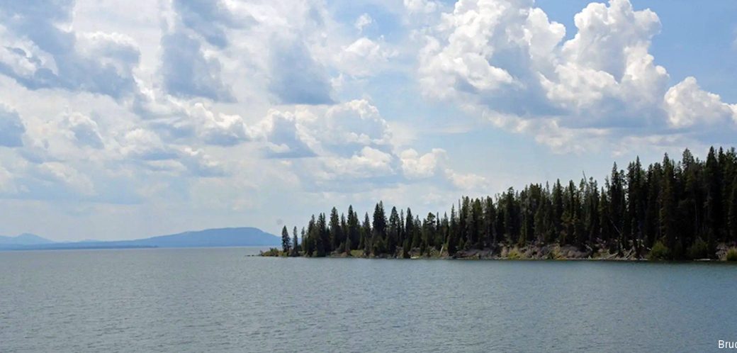
PELICAN CREEK TRAIL
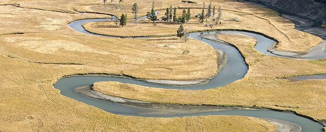
Trailhead: West end of Pelican Creek Bridge, 1 mile (1.5 km) east of Fishing Bridge Visitor CenterDistance: 1 mile (1.5…
OSPREY FALLS TRAIL
Trailhead: 5 miles south of Mammoth on the Old Bunsen Peak Road TrailDistance: 8 miles (12.9 km) roundtripLevel of Difficulty:…
OBSERVATION POINT TRAIL
OBSERVATION POINT TRAIL Trailhead: Firehole River footbridge behind Old Faithful GeyserDistance: 1.1 mile (1 km) loopLevel of Difficulty: Moderate This…
NATURAL BRIDGE TRAIL
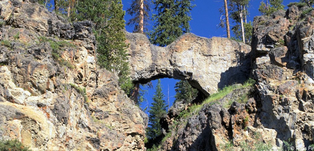
Trailhead: Bridge Bay Marina parking lot near the campground entrance roadDistance: 3 miles (5 km) roundtripLevel of Difficulty: EasyThe natural…