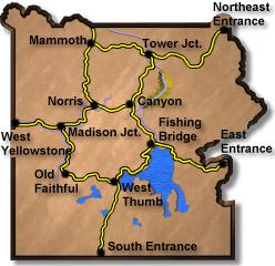
Fishing Bridge to Canyon
Select a new starting point – Links will open in above window
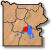
Just North of Fishing Bridge Jct
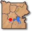
Along the Yellowstone River
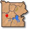
Approaching Mud Volcano Area
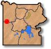
Hayden Valley #1
Hayden Valley #2
Approaching Canyon Jct
Click on any road section for more.
Much of this section follows the beautiful Yellowstone River. The Mud Volcano are contains many interesting thermal features. Shown here is the Dragons Mouth.
A short hike leads to the Dragons Mouth and Sizzling Basin. One of the best spots in all of Yellowstone – Hayden Valley. This is a good place to see Bison, Coyotes, and Bear.