Trailhead: 1.25 miles NE of Tower Junction on the road to the NE Entrance Distance: 3.7 miles (5.9 km) roundtrip…
Category: Day Hikes
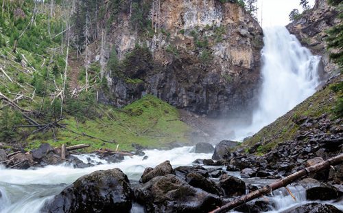
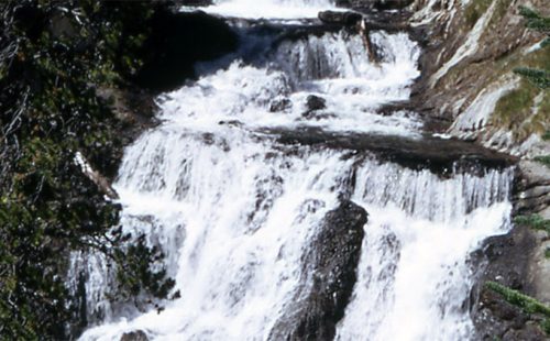
WRAITH FALLS TRAIL
Trailhead: Pullout ¼ mile east of Lava Creek Picnic area, Mammoth-Tower RoadDistance: 1 mile (1 km) round tripLevel of Difficulty:…
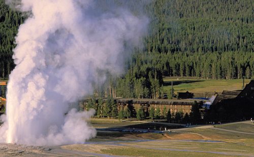
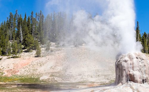
UPPER GEYSER BASIN TRAILS
Trailhead: Boardwalk in front of Old Faithful Visitor CenterDistances: Several miles of trails, including a loop to the east and…
STORM POINT TRAIL
Trailhead: Pullout at Indian Pond, 3 miles east of Fishing Bridge Visitor CenterDistance: 2 mile (3 km) loopLevel of Difficulty:…
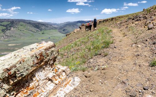
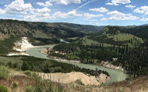
SPECIMEN RIDGE TRAIL
Trailhead: 2.5 miles east of Tower JunctionDistance: 1 to 11 miles one wayLevel of Difficulty: Moderate to DifficultThis is a…
SOLFATARA CREEK TRAIL
Trailhead #1: Loop C in Norris Campground Trailhead #2: approx. 3/4 mile south of Beaver Lake Picnic Area Distance: About…
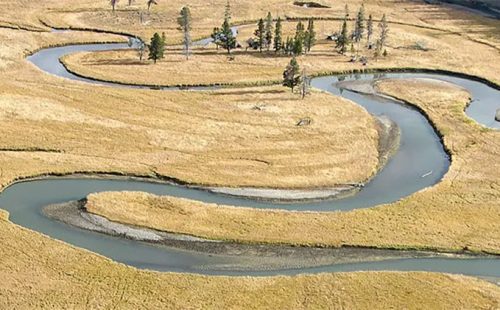
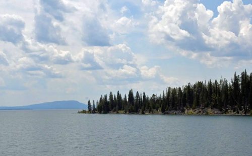
PELICAN CREEK TRAIL
Trailhead: West end of Pelican Creek Bridge, 1 mile (1.5 km) east of Fishing Bridge Visitor CenterDistance: 1 mile (1.5…
OSPREY FALLS TRAIL
Trailhead: 5 miles south of Mammoth on the Old Bunsen Peak Road TrailDistance: 8 miles (12.9 km) roundtripLevel of Difficulty:…
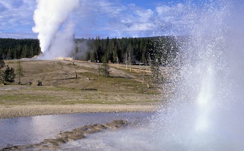
OBSERVATION POINT TRAIL
OBSERVATION POINT TRAIL Trailhead: Firehole River footbridge behind Old Faithful GeyserDistance: 1.1 mile (1 km) loopLevel of Difficulty: Moderate This…
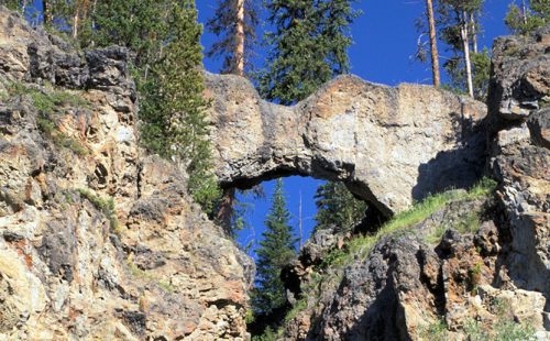
NATURAL BRIDGE TRAIL
Trailhead: Bridge Bay Marina parking lot near the campground entrance roadDistance: 3 miles (5 km) roundtripLevel of Difficulty: EasyThe natural…
MYSTIC FALLS TRAIL
How to Get There The falls are located behind Biscuit Basin, near the Old Faithful Area. After about .5 miles,…
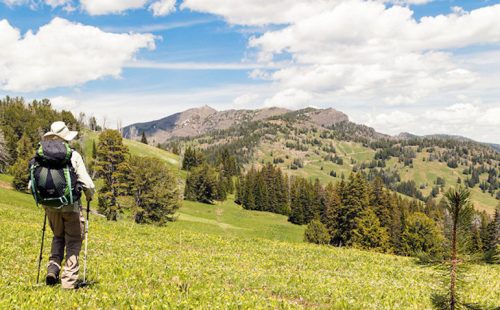
MOUNT WASHBURN TRAIL
Trailhead #1: Chittenden Road Parking Area, 8.7 miles (13.9 km)Trailhead #2: Dunraven Pass Parking Area, 13.6 miles south of Tower…
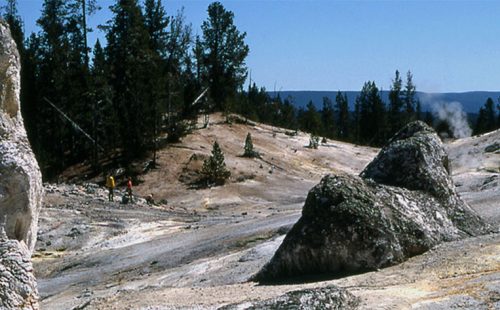
MONUMENT GEYSER BASIN TRAIL
Trailhead: 5 miles south of Norris Junction on the Norris-Madison road, just after Gibbon River BridgeDistance: 2 miles (3 km)Level…
MARY MOUNTAIN TRAIL
Trailhead: North of Alum Creek pullout, 4 miles south of Canyon JunctionDistance: 21 miles one wayLevel of Difficulty: Moderately strenuous…
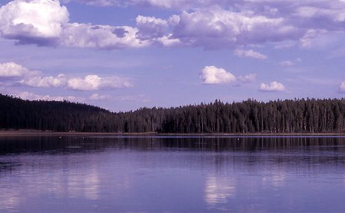
MALLARD LAKE TRAIL
Trailhead: Old Faithful Lodge cabin areaDistance: 6.8 miles (5.3 km) roundtripLevel of Difficulty: Moderate This trail climbs through lodgepole pine…
LOST LAKE TRAIL
Trailhead: Behind Roosevelt LodgeDistance: 4 miles (6.4 km) roundtripLevel of difficulty: Moderately strenuousThis moderately strenuous trail starts behind Roosevelt Lodge…
LONE STAR GEYSER TRAIL
Trailhead: 3.5 miles SE of the Old Faithful area, at Kepler Cascades parking areaDistance: 5 miles (8 km) roundtripLevel of…
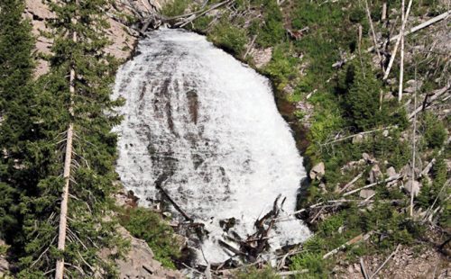
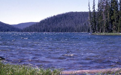
ICE LAKE TRAIL
Trailhead: 3.5 miles east of Norris on the Norris-Canyon roadDistance: 0.3 miles (0.5 km)Level of Difficulty: Easy; handicapped accessible backcountry…
GRIZZLY LAKE TRAIL
Trailhead: 1 mile (1 km) south of Beaver Lake on the Mammoth-Norris roadDistance: 4 miles (6 km) roundtripLevel of difficulty:…
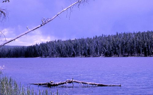
GREBE LAKE TRAIL
Trailhead: 3.5 miles (5.6 km) west of Canyon Junction on the Norris-Canyon RoadDistance: 6 miles (9.7 km) roundtripLevel of Difficulty:…