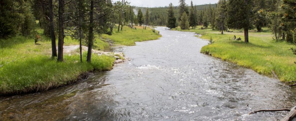
- YELLOWSTONE RIVER PICNIC AREA TRAIL
 Trailhead: 1.25 miles NE of Tower Junction on the road to the NE Entrance Distance: 3.7 miles (5.9 km) roundtrip Level of difficulty: … Read more
 - WRAITH FALLS TRAIL
 Trailhead: Pullout ¼ mile east of Lava Creek Picnic area, Mammoth-Tower RoadDistance: 1 mile (1 km) round tripLevel of Difficulty: Easy This short, … Read more
 - UPPER GEYSER BASIN TRAILS
 Trailhead: Boardwalk in front of Old Faithful Visitor CenterDistances: Several miles of trails, including a loop to the east and one to the … Read more
 - STORM POINT TRAIL
 Trailhead: Pullout at Indian Pond, 3 miles east of Fishing Bridge Visitor CenterDistance: 2 mile (3 km) loopLevel of Difficulty: Easy If … Read more
 - SPECIMEN RIDGE TRAIL
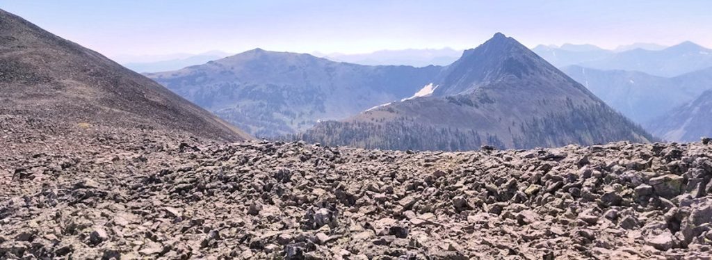
 Trailhead: 2.5 miles east of Tower JunctionDistance: 1 to 11 miles one wayLevel of Difficulty: Moderate to DifficultThis is a moderate trail which … Read more
 - SOLFATARA CREEK TRAIL
 Trailhead #1: Loop C in Norris Campground Trailhead #2: approx. 3/4 mile south of Beaver Lake Picnic Area Distance: About 13 miles round … Read more
 - PELICAN CREEK TRAIL
 Trailhead: West end of Pelican Creek Bridge, 1 mile (1.5 km) east of Fishing Bridge Visitor CenterDistance: 1 mile (1.5 km) loopLevel of … Read more
 - OSPREY FALLS TRAIL
 Trailhead: 5 miles south of Mammoth on the Old Bunsen Peak Road TrailDistance: 8 miles (12.9 km) roundtripLevel of Difficulty: Difficult Whether you … Read more
 - OBSERVATION POINT TRAIL
 OBSERVATION POINT TRAIL Trailhead: Firehole River footbridge behind Old Faithful GeyserDistance: 1.1 mile (1 km) loopLevel of Difficulty: Moderate This loop trail gains … Read more
 - NATURAL BRIDGE TRAIL
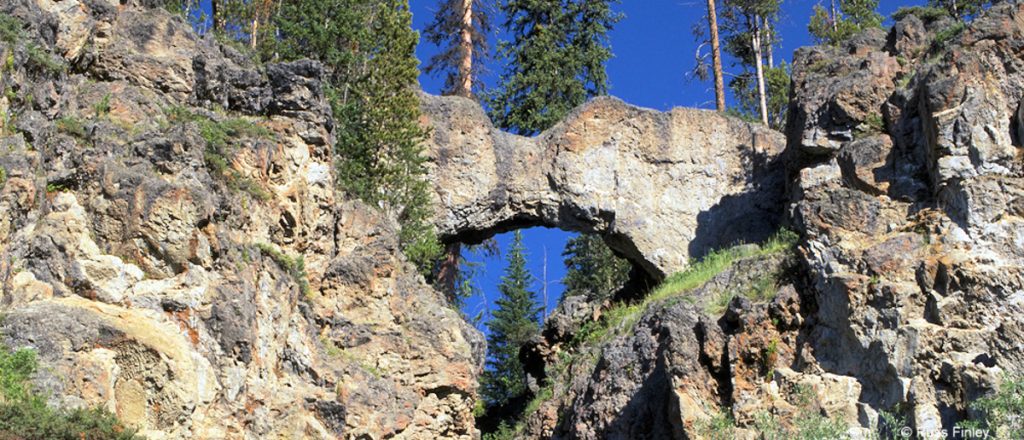 Trailhead: Bridge Bay Marina parking lot near the campground entrance roadDistance: 3 miles (5 km) roundtripLevel of Difficulty: EasyThe natural bridge is a … Read more
 - MYSTIC FALLS TRAIL
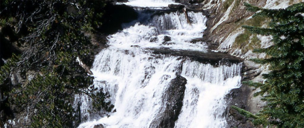 How to Get There The falls are located behind Biscuit Basin, near the Old Faithful Area. After about .5 miles, the trail takes … Read more
 - MOUNT WASHBURN TRAIL
 Trailhead #1: Chittenden Road Parking Area, 8.7 miles (13.9 km)Trailhead #2: Dunraven Pass Parking Area, 13.6 miles south of Tower JunctionDistance: 6 miles … Read more
 - MONUMENT GEYSER BASIN TRAIL
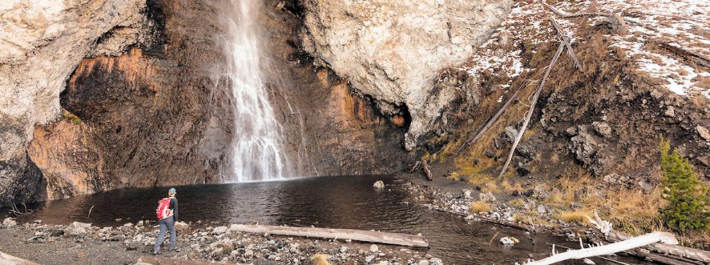
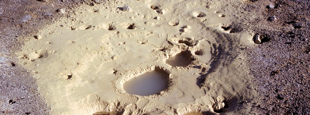
 Trailhead: 5 miles south of Norris Junction on the Norris-Madison road, just after Gibbon River BridgeDistance: 2 miles (3 km)Level of Difficulty: Difficult … Read more
 - MARY MOUNTAIN TRAIL
 Trailhead: North of Alum Creek pullout, 4 miles south of Canyon JunctionDistance: 21 miles one wayLevel of Difficulty: Moderately strenuous if you do … Read more
 - MALLARD LAKE TRAIL
 Trailhead: Old Faithful Lodge cabin areaDistance: 6.8 miles (5.3 km) roundtripLevel of Difficulty: Moderate This trail climbs through lodgepole pine forest, some of … Read more
 - LOST LAKE TRAIL
 Trailhead: Behind Roosevelt LodgeDistance: 4 miles (6.4 km) roundtripLevel of difficulty: Moderately strenuousThis moderately strenuous trail starts behind Roosevelt Lodge (Tower Junction) and … Read more
 - LONE STAR GEYSER TRAIL
 Trailhead: 3.5 miles SE of the Old Faithful area, at Kepler Cascades parking areaDistance: 5 miles (8 km) roundtripLevel of Difficulty: Easy One … Read more
 - ICE LAKE TRAIL
 Trailhead: 3.5 miles east of Norris on the Norris-Canyon roadDistance: 0.3 miles (0.5 km)Level of Difficulty: Easy; handicapped accessible backcountry site on lake … Read more
 - GRIZZLY LAKE TRAIL
 Trailhead: 1 mile (1 km) south of Beaver Lake on the Mammoth-Norris roadDistance: 4 miles (6 km) roundtripLevel of difficulty: Moderate with some … Read more
 - GREBE LAKE TRAIL
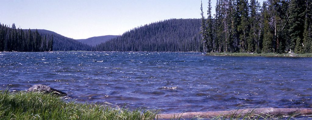
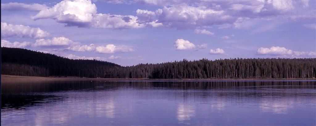 Trailhead: 3.5 miles (5.6 km) west of Canyon Junction on the Norris-Canyon RoadDistance: 6 miles (9.7 km) roundtripLevel of Difficulty: Moderately easyMainly used … Read more
 - FAIRY FALLS TRAIL
 Trailhead #1: Steel Bridge parking area 1 mile south of the Midway Geyser BasinTrailhead #2: Fountain Flats parking areaDistance: 5 miles (8 km) … Read more
 - ELEPHANT BACK MOUNTAIN TRAIL
 Trailhead: Pullout 1 mile (1.5 km) south of Fishing Bridge JunctionDistance: 3 mile (5 km) loopLevel of Difficulty: Moderately strenuous This trail climbs … Read more
 - CYGNET LAKES TRAIL
 Trailhead: Pullout about 5.5 miles west of Canyon JunctionDistance: 8 miles (14.4 km) roundtripLevel of Difficulty: Easy This trail travels through intermittently burned … Read more
 - CASCADE LAKE TRAIL
 Trailhead: Cascade Lake Picnic Area, 1.5 miles north of Canyon JunctionDistance: 4.5 miles (7.2 km) roundtripLevel of Difficulty: EasyThis easy hike is an … Read more
 - BUNSEN PEAK TRAIL
 Trailhead: Entrance of Old Bunsen Peak Road, 5 miles south of MammothDistance: 2 miles to the summit (up to 10 miles roundtrip, depending … Read more
 - BEAVER PONDS LOOP TRAIL
 Trailhead: Clematis Gulch between Liberty Cap and the stone houseDistance: 5 mile (8 km) loopLevel of Difficulty: Moderate One of Yellowstone’s shorter loop … Read more
 - AVALANCHE PEAK TRAIL
 Trailhead: West end of Eleanor Lake across the road to the east of the small creekDistance: 5 miles (8 km) roundtripLevel of Difficulty: … Read more
 - ARTIST PAINT POTS TRAIL
 Trailhead: 4.4 miles south of Norris on the Norris-Madison roadDistance: about 1 mile roundtripLevel of Difficulty: EasyNote: a new trail was cut in … Read more