- SOLFATARA CREEK TRAIL
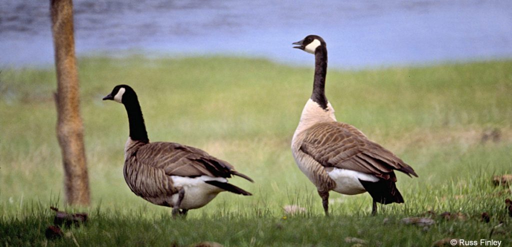 Trailhead #1: Loop C in Norris Campground Trailhead #2: approx. 3/4 mile south of Beaver Lake Picnic Area Distance: About 13 miles round trip Level of Difficulty: Easy to moderate; highest climb … Read more
 - MONUMENT GEYSER BASIN TRAIL
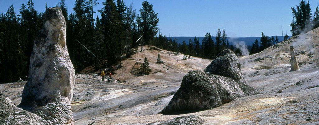 Trailhead: 5 miles south of Norris Junction on the Norris-Madison road, just after Gibbon River BridgeDistance: 2 miles (3 km)Level of Difficulty: Difficult (don’t be fooled by the initial easy going)This is … Read more
 - GRIZZLY LAKE TRAIL
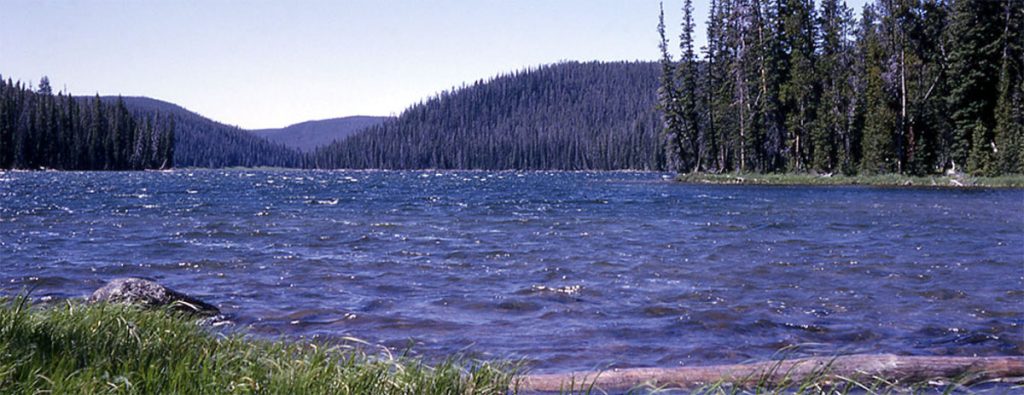 Trailhead: 1 mile (1 km) south of Beaver Lake on the Mammoth-Norris roadDistance: 4 miles (6 km) roundtripLevel of difficulty: Moderate with some short, steep climbs and rolling terrain.Note: A log jam … Read more
 - ARTIST PAINT POTS TRAIL
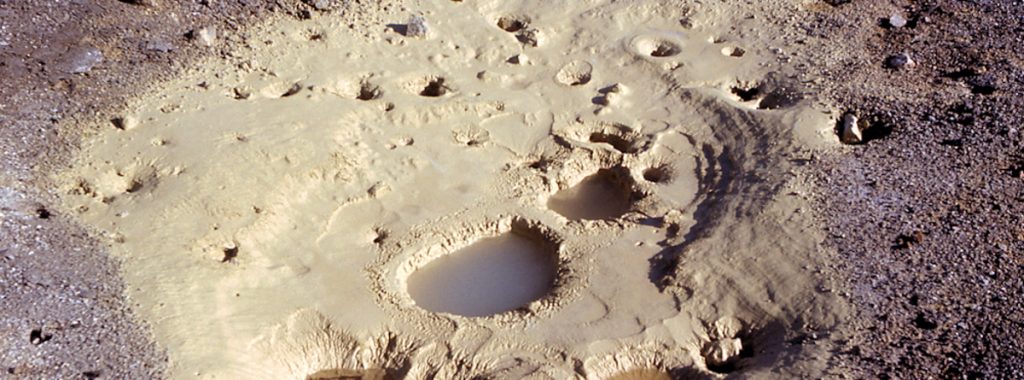 Trailhead: 4.4 miles south of Norris on the Norris-Madison roadDistance: about 1 mile roundtripLevel of Difficulty: EasyNote: a new trail was cut in 2004, making this trail an even easier hike This … Read more