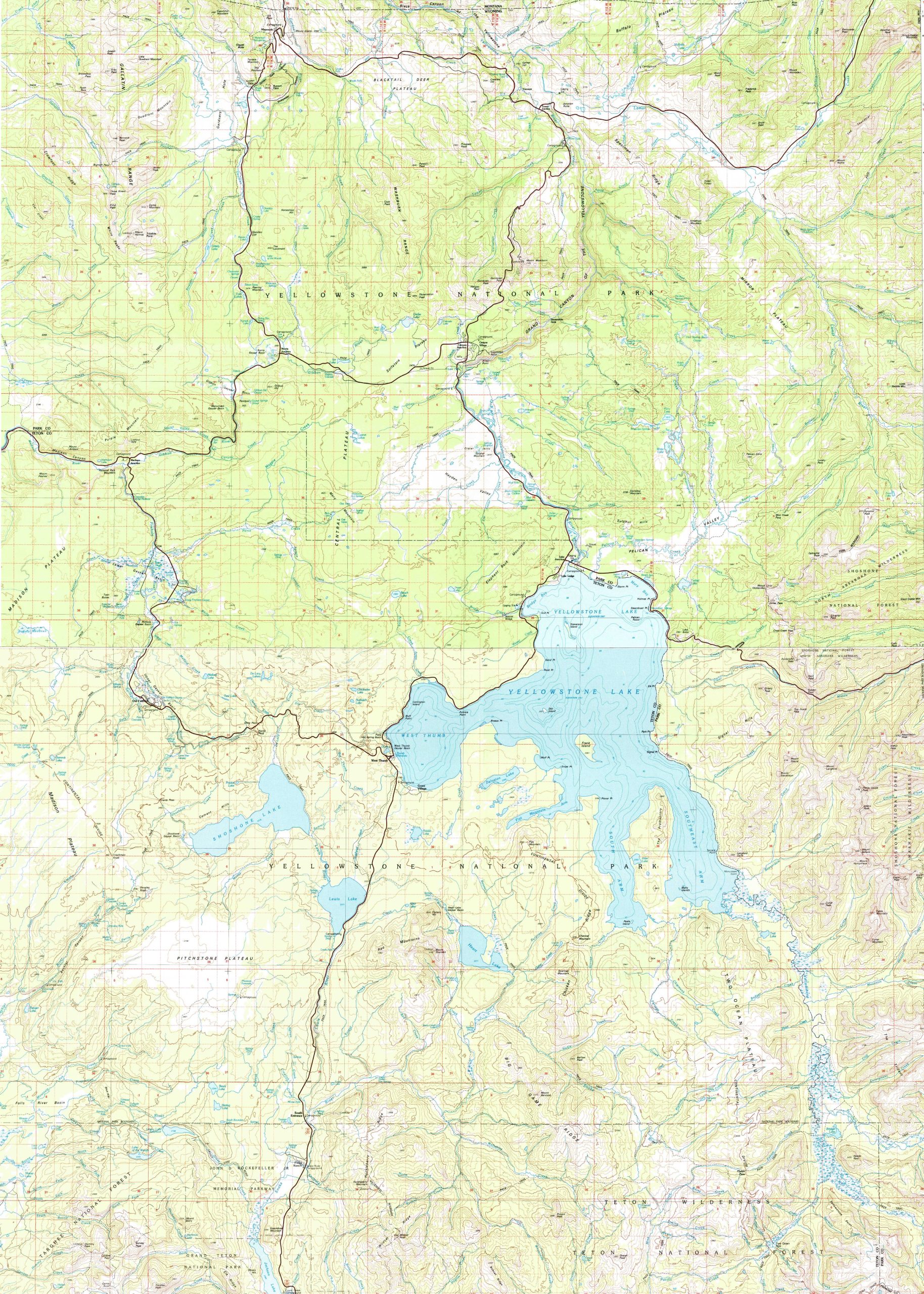
A topographic map of Yellowstone National Park is more than just a navigation tool; it is a visual history of one of the most geologically active areas on Earth. Because the park sits atop a volcanic hotspot, its topography is defined by dramatic elevation shifts, ranging from 5,282 feet at Reese Creek to 11,358 feet at the summit of Eagle Peak.