WRAITH FALLS TRAIL

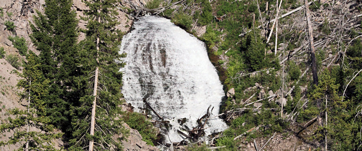
Trailhead: Pullout ¼ mile east of Lava Creek Picnic area, Mammoth-Tower RoadDistance: 1 mile (1 km) round tripLevel of Difficulty: Easy This short, easy hike takes only minutes.  It travels through open sagebrush and Douglas-fir forest to the foot of Wraith Falls cascade on Lupine Creek.  It is a good option for families with young … Read more

OSPREY FALLS TRAIL

Osprey Falls

Trailhead: 5 miles south of Mammoth on the Old Bunsen Peak Road TrailDistance: 8 miles (12.9 km) roundtripLevel of Difficulty: Difficult Whether you start south of Bunsen Peak on the old Bunsen Peak road (the trailhead noted above) or north of Bunsen Peak on the other end of the old Bunsen Peak road, you will … Read more

BUNSEN PEAK TRAIL

Trailhead: Entrance of Old Bunsen Peak Road, 5 miles south of MammothDistance: 2 miles to the summit (up to 10 miles roundtrip, depending on route)Level of Difficulty: Moderate As far as mountain scenery goes, this is one of the best short hikes in Yellowstone. The climb is fairly steep, climbing some 1300 feet in the … Read more

BEAVER PONDS LOOP TRAIL

Beaver Pond

Trailhead: Clematis Gulch between Liberty Cap and the stone houseDistance: 5 mile (8 km) loopLevel of Difficulty: Moderate One of Yellowstone’s shorter loop trails, this is a scenic hike with little elevation change and a good chance to see some of the Park’s larger animal inhabitants, including elk, deer, pronghorn, moose and occasional black bear. … Read more