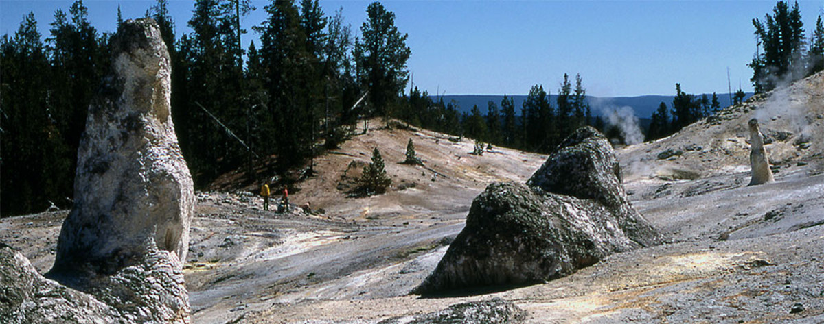
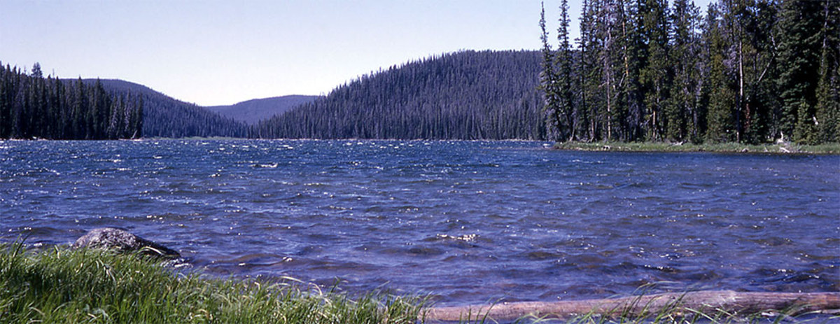
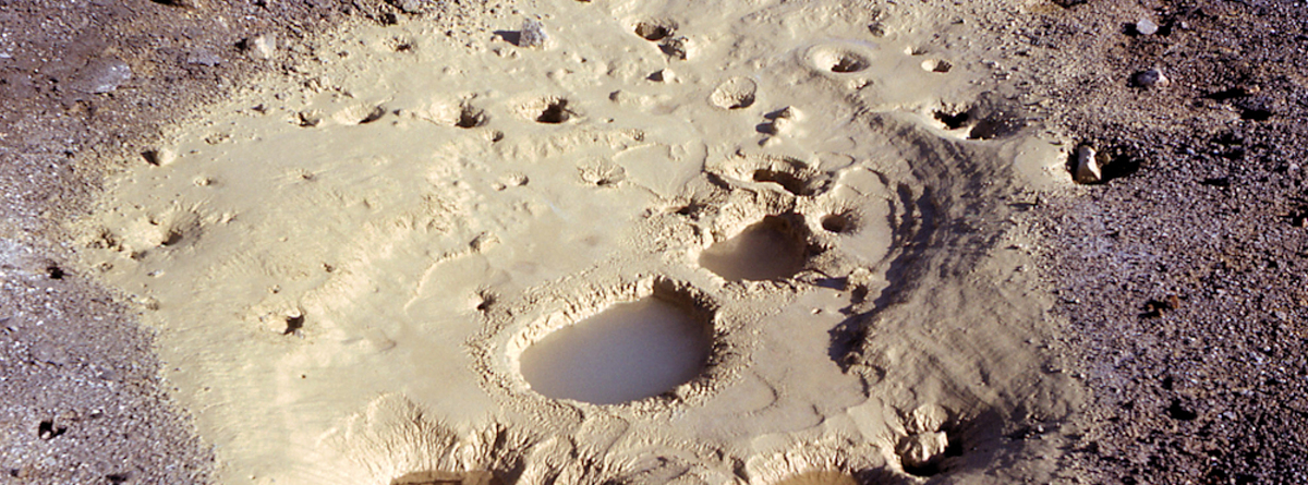
SOLFATARA CREEK TRAIL

Trailhead #1: Loop C in Norris Campground Trailhead #2: approx. 3/4 mile south of Beaver Lake Picnic Area Distance: About 13 miles round trip Level of Difficulty: Easy to moderate; highest climb is about 400 feet Beginning in the Norris Campground, the trail traverses lodgepole pine forest as it follows Solfatara Creek for a short … Read more

MONUMENT GEYSER BASIN TRAIL

monument geyser basin

Trailhead: 5 miles south of Norris Junction on the Norris-Madison road, just after Gibbon River BridgeDistance: 2 miles (3 km)Level of Difficulty: Difficult (don’t be fooled by the initial easy going)This is a short but steep hike which is rated as difficult. Sometimes a walking stick left by previous visitors can be found at the … Read more

GRIZZLY LAKE TRAIL

Grizzly Lake

Trailhead: 1 mile (1 km) south of Beaver Lake on the Mammoth-Norris roadDistance: 4 miles (6 km) roundtripLevel of difficulty: Moderate with some short, steep climbs and rolling terrain.Note: A log jam crossing is required to continue past Grizzly Lake.This trail traverses through an area that not only was burned in the fires of 1988, … Read more

ARTIST PAINT POTS TRAIL

Artist Paint Pots

Trailhead: 4.4 miles south of Norris on the Norris-Madison roadDistance: about 1 mile roundtripLevel of Difficulty: EasyNote: a new trail was cut in 2004, making this trail an even easier hike This is one of the overlooked yet wonderful very short hikes of Yellowstone. The trail, beginning as a boardwalk,  meanders through a partially burned … Read more