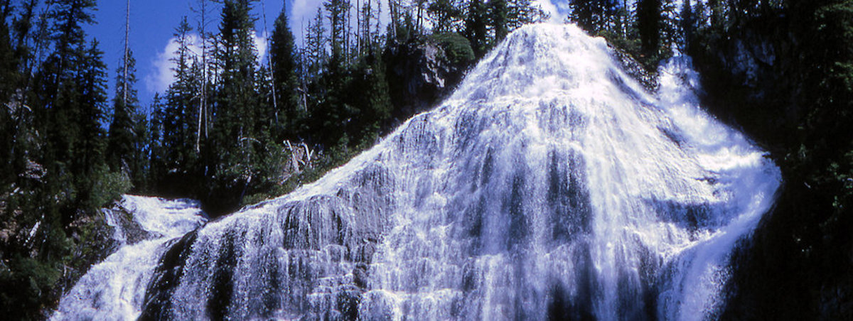
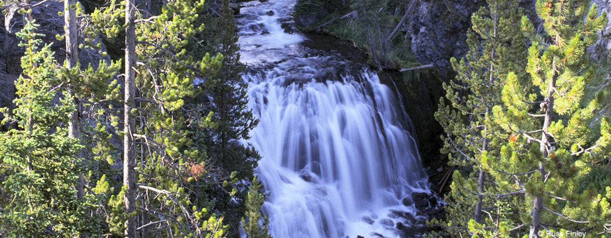
VIRGINIA CASCADES

Virginia Cascades

How to Get There Virginia Cascades is located 2.5 miles east of Norris Junction on the Norris to Canyon road.  It is located along a mile-long side drive to the south of the main road. Brief Description Virginia Cascades tumbles 60 feet over a relatively gradual slope into a deep canyon.  The falls are just … Read more

UPPER FALLS

Upper Falls

How to Get There Upper Falls is located just south of Canyon village.  Drive across Chittenden Bridge to Uncle Tom’s parking area to reach the trail head. Brief Description and History The Upper Falls of the Grand Canyon of the Yellowstone is neither as tall nor as popular as Lower Falls, but the 109 foot … Read more

UNION FALLS

Union Falls

How to Get There It is about 16 mile round trip. The trailhead is actually just outside the southern boundary of Yellowstone, near Flagg Ranch. Two miles south of the Park on US Hwy 287, turn west on Ashton-Flagg Road. After about a quarter of a mile, turn right. The paved road soon turns into … Read more

UNDINE FALLS

Undine Falls

How to Get There Undine Falls is four miles east of Mammoth, near the roadway, and accessible by an easy, short hike.  Brief Description and History Lava Creek spills over the cliff face of a basalt lava flow that was emplaced about 700,000 years ago.  The falls is approximately 60 feet in height, descending in … Read more

TOWER FALL

Tower Falls

How to Get There Tower Fall is 17 miles north of Canyon or two miles south of Roosevelt. During the winter months, the frozen falls are accessible via cross country skies. Brief Description and History Tower Fall is a must see waterfall. 132 feet in height, the waterfall is located in a canyon near the … Read more

OSPREY FALLS

osprey falls

Trailhead: 5 miles south of Mammoth on the Old Bunsen Peak Road TrailDistance: 8 miles (12.9 km) roundtripLevel of Difficulty: Difficult How to Get There and Brief Description Osprey Falls is located behind Bunsen Peak. The main route to Osprey Falls (noted above) begins at the old Bunsen Peak roadbed near the Bunsen Peak trail … Read more

MYSTIC FALLS

Mystic Falls

How to Get There The falls are located behind Biscuit Basin, near the Old Faithful Area.   After about .5 miles, the trail takes a fork.  The left-hand fork goes directly to Mystic Falls and is about one mile long.  It is an easy hike.  The right-hand fork also goes to the Falls, but is nearly … Read more

LOWER FALLS

Lower Falls - Grand Canyon of the Yellowstone

How to Get There The Lower Falls area is located just to the east of Canyon Village.  A one-way loop drive takes you to the brink of the Grand Canyon and offers four views, with the last stop at the trail that leads to the top of the Falls. Brief Description Lower Falls, the biggest … Read more

LEWIS FALLS

lewis falls

How to Get There and Brief Description Located roughly 11 miles inside Yellowstone’s south entrance, and two miles south of Lewis Lake, Lewis falls is easily accessible from parking lots on each side of the Lewis River bridge. The falls are about 30 feet in height. Lewis Falls Trail Rehabilitation Located 10 miles north of … Read more

KEPLER CASCADES

Kepler cascascades

How to Get There Kepler Cascades is located about two miles south of Old Faithful Village.  The cascades are viewable from a roadside pullout. Brief Description and History This three-tiered cascade drops over 50 feet as the Firehole River flows North. The Kepler Cascades were actually named in 1881 for the 12 year old son … Read more