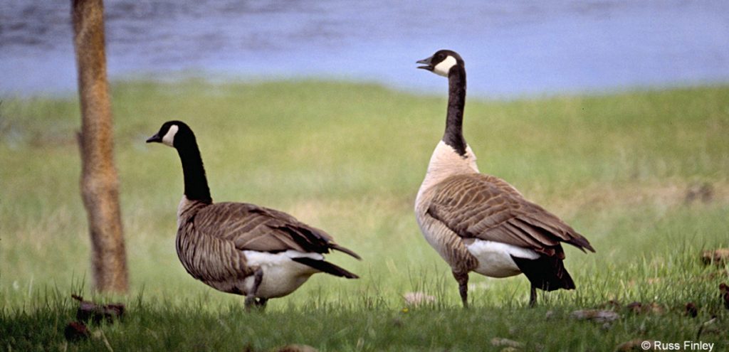
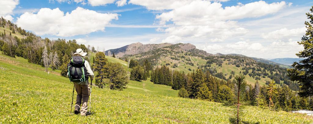
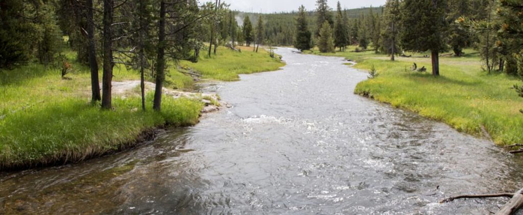
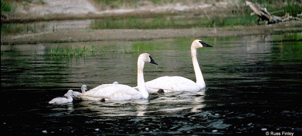
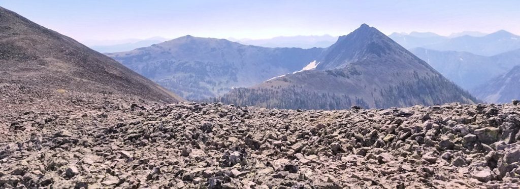
There are numerous trails suitable for day hiking. Starting your adventure by stopping at a ranger station or visitor center will provide information essential for hiking in Yellowstone. Trail conditions may change suddenly and unexpectedly. Bear activity, rain or snow storms, high water, and fires may temporarily close trails. At a minimum, carry water, a raincoat or poncho, a warm hat, insect repellent, sunscreen, and a first aid kit. It is recommended that you hike with another person. No permit is required for day hiking.
- YELLOWSTONE RIVER PICNIC AREA TRAIL
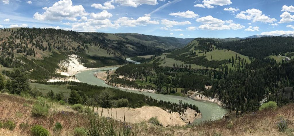 Trailhead: 1.25 miles NE of Tower Junction on the road to the NE Entrance Distance: 3.7 miles (5.9 km) roundtrip Level of difficulty: … Read more
 - WRAITH FALLS TRAIL
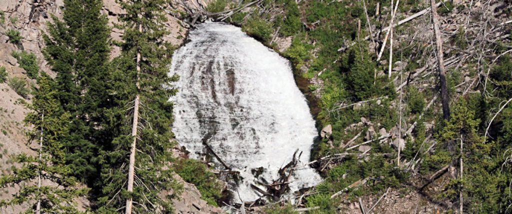 Trailhead: Pullout ¼ mile east of Lava Creek Picnic area, Mammoth-Tower RoadDistance: 1 mile (1 km) round tripLevel of Difficulty: Easy This short, … Read more
 - UPPER GEYSER BASIN TRAILS
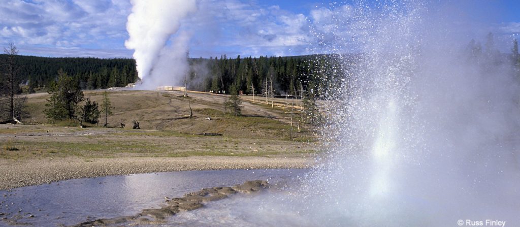 Trailhead: Boardwalk in front of Old Faithful Visitor CenterDistances: Several miles of trails, including a loop to the east and one to the … Read more
 - STORM POINT TRAIL
 Trailhead: Pullout at Indian Pond, 3 miles east of Fishing Bridge Visitor CenterDistance: 2 mile (3 km) loopLevel of Difficulty: Easy If … Read more
 - SPECIMEN RIDGE TRAIL
 Trailhead: 2.5 miles east of Tower JunctionDistance: 1 to 11 miles one wayLevel of Difficulty: Moderate to DifficultThis is a moderate trail which … Read more
 - SOLFATARA CREEK TRAIL
 Trailhead #1: Loop C in Norris Campground Trailhead #2: approx. 3/4 mile south of Beaver Lake Picnic Area Distance: About 13 miles round … Read more
 - PELICAN CREEK TRAIL
 Trailhead: West end of Pelican Creek Bridge, 1 mile (1.5 km) east of Fishing Bridge Visitor CenterDistance: 1 mile (1.5 km) loopLevel of … Read more
 - OSPREY FALLS TRAIL
 Trailhead: 5 miles south of Mammoth on the Old Bunsen Peak Road TrailDistance: 8 miles (12.9 km) roundtripLevel of Difficulty: Difficult Whether you … Read more
 - OBSERVATION POINT TRAIL
 OBSERVATION POINT TRAIL Trailhead: Firehole River footbridge behind Old Faithful GeyserDistance: 1.1 mile (1 km) loopLevel of Difficulty: Moderate This loop trail gains … Read more
 - NATURAL BRIDGE TRAIL
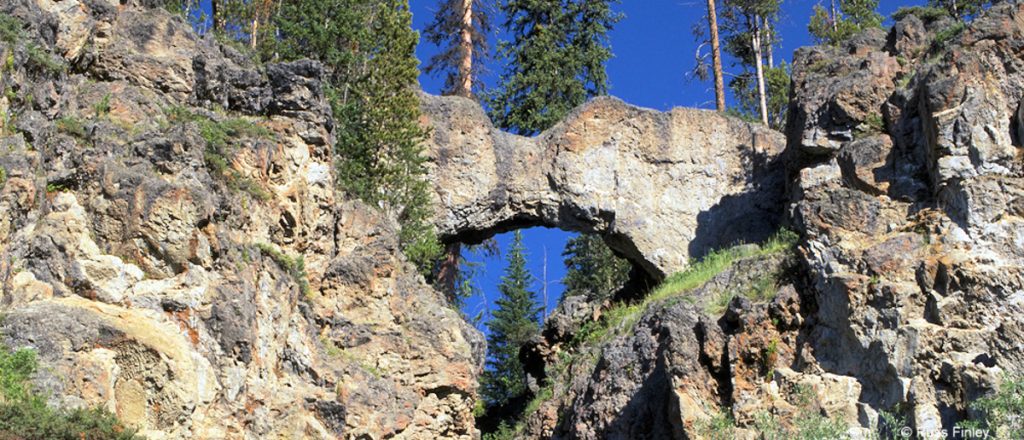 Trailhead: Bridge Bay Marina parking lot near the campground entrance roadDistance: 3 miles (5 km) roundtripLevel of Difficulty: EasyThe natural bridge is a … Read more
 - MYSTIC FALLS TRAIL
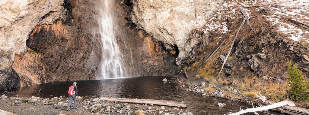
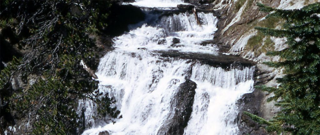 How to Get There The falls are located behind Biscuit Basin, near the Old Faithful Area. After about .5 miles, the trail takes … Read more
 - MOUNT WASHBURN TRAIL
 Trailhead #1: Chittenden Road Parking Area, 8.7 miles (13.9 km)Trailhead #2: Dunraven Pass Parking Area, 13.6 miles south of Tower JunctionDistance: 6 miles … Read more
 - MONUMENT GEYSER BASIN TRAIL
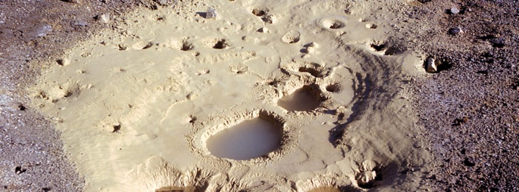
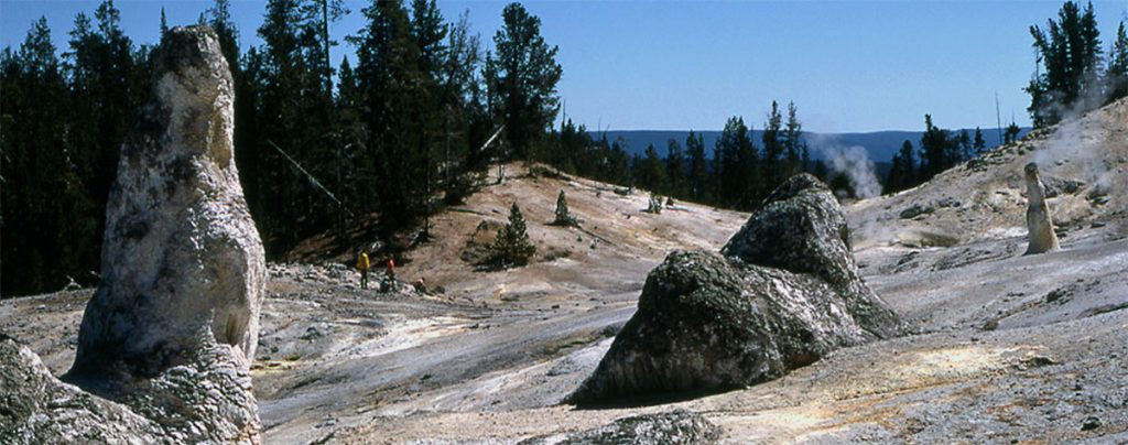 Trailhead: 5 miles south of Norris Junction on the Norris-Madison road, just after Gibbon River BridgeDistance: 2 miles (3 km)Level of Difficulty: Difficult … Read more
 - MARY MOUNTAIN TRAIL
 Trailhead: North of Alum Creek pullout, 4 miles south of Canyon JunctionDistance: 21 miles one wayLevel of Difficulty: Moderately strenuous if you do … Read more
 - MALLARD LAKE TRAIL
 Trailhead: Old Faithful Lodge cabin areaDistance: 6.8 miles (5.3 km) roundtripLevel of Difficulty: Moderate This trail climbs through lodgepole pine forest, some of … Read more
 - LOST LAKE TRAIL
 Trailhead: Behind Roosevelt LodgeDistance: 4 miles (6.4 km) roundtripLevel of difficulty: Moderately strenuousThis moderately strenuous trail starts behind Roosevelt Lodge (Tower Junction) and … Read more
 - LONE STAR GEYSER TRAIL
 Trailhead: 3.5 miles SE of the Old Faithful area, at Kepler Cascades parking areaDistance: 5 miles (8 km) roundtripLevel of Difficulty: Easy One … Read more
 - ICE LAKE TRAIL
 Trailhead: 3.5 miles east of Norris on the Norris-Canyon roadDistance: 0.3 miles (0.5 km)Level of Difficulty: Easy; handicapped accessible backcountry site on lake … Read more
 - GRIZZLY LAKE TRAIL
 Trailhead: 1 mile (1 km) south of Beaver Lake on the Mammoth-Norris roadDistance: 4 miles (6 km) roundtripLevel of difficulty: Moderate with some … Read more
 - GREBE LAKE TRAIL
 Trailhead: 3.5 miles (5.6 km) west of Canyon Junction on the Norris-Canyon RoadDistance: 6 miles (9.7 km) roundtripLevel of Difficulty: Moderately easyMainly used … Read more
 - FAIRY FALLS TRAIL
 Trailhead #1: Steel Bridge parking area 1 mile south of the Midway Geyser BasinTrailhead #2: Fountain Flats parking areaDistance: 5 miles (8 km) … Read more
 - ELEPHANT BACK MOUNTAIN TRAIL
 Trailhead: Pullout 1 mile (1.5 km) south of Fishing Bridge JunctionDistance: 3 mile (5 km) loopLevel of Difficulty: Moderately strenuous This trail climbs … Read more
 - CYGNET LAKES TRAIL
 Trailhead: Pullout about 5.5 miles west of Canyon JunctionDistance: 8 miles (14.4 km) roundtripLevel of Difficulty: Easy This trail travels through intermittently burned … Read more
 - CASCADE LAKE TRAIL
 Trailhead: Cascade Lake Picnic Area, 1.5 miles north of Canyon JunctionDistance: 4.5 miles (7.2 km) roundtripLevel of Difficulty: EasyThis easy hike is an … Read more
 - BUNSEN PEAK TRAIL
 Trailhead: Entrance of Old Bunsen Peak Road, 5 miles south of MammothDistance: 2 miles to the summit (up to 10 miles roundtrip, depending … Read more
 - BEAVER PONDS LOOP TRAIL
 Trailhead: Clematis Gulch between Liberty Cap and the stone houseDistance: 5 mile (8 km) loopLevel of Difficulty: Moderate One of Yellowstone’s shorter loop … Read more
 - AVALANCHE PEAK TRAIL
 Trailhead: West end of Eleanor Lake across the road to the east of the small creekDistance: 5 miles (8 km) roundtripLevel of Difficulty: … Read more
 - ARTIST PAINT POTS TRAIL
 Trailhead: 4.4 miles south of Norris on the Norris-Madison roadDistance: about 1 mile roundtripLevel of Difficulty: EasyNote: a new trail was cut in … Read more